
Stormy weather is set to continue with thunderstorms, heavy rain and strong winds forecast for much of the country.
Thunderstorms in Nelson, Buller, Westland and the Canterbury high country are forecast to bring heavy rain, hail, strong squally wind gusts, and possibly some small tornadoes on coastal areas.
Heavy rain warnings are in place for North Taranaki, Taihape, the west of Taupō, Taumarunui, Waitomo, Tararua Range, Horowhenua to Wellington north of Johnsonville and Westland south of Otira. Strong wind warnings are in force in Wellington in Wairarapa and south of Featherston.
A strong wind watch is also in place for the Bay of Plenty and Coromandel today.
The MetService predicts northwest winds may approach severe gale at times.
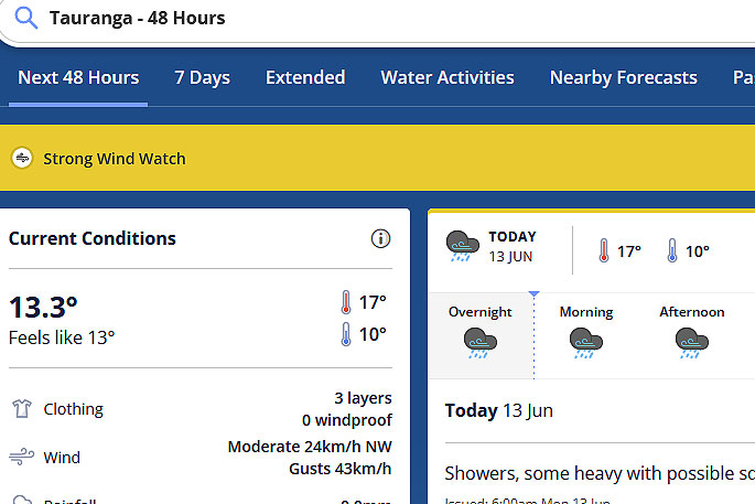 Image: MetService.
"Note that this area may be affected by severe thunderstorms bringing damaging wind gusts of more than 110 km/h and localised tornadoes," says a spokesperson for the weather organisation.
"Watches for severe thunderstorms have been issued. Note that winds may ease for at time Monday morning but severe gales are again possible from late Monday morning and into the afternoon."
On Sunday two tornadoes hit the Kāpiti Coast town of Waikanae, just days after a tornado damaged six houses in the lower North Island town.
Sez Rudd saw the first tornado coming towards her as she drove along Rutherford Drive on Sunday afternoon.
She says it was as wide as the two-laned road, and she pulled her car over and braced herself inside it. When she opened her eyes she saw two large trees had fallen about 2m in front of her vehicle.
A tree fell on a power line, cutting power to almost 200 households in the Reikorangi area of Kāpiti Coast on Sunday, and more than 1000 properties in Taranaki lost power as wild weather crossed the country.
On Monday morning Paekakariki Hill road north of Wellington was closed by a slip, and flooding had shut SH1 at Marton.
As at 5.30am there were 33 severe weather warnings or watches covering most of the country.
In the South Island, snow closed all the major alpine passes and SH94 from Te Anau to Milford was also still snow-bound. In the Upper Buller Gorge, a slip has come down closing SH6 from 8 Mile to Inangahua.
A strong west to northwest flow over New Zealand that is bringing heavy rain, strong winds and snow to parts of the country should change to strong southwesterly from the south during Monday, MetService says. It is forecasting the weather will settle from Wednesday.

0 comments
Leave a Comment
You must be logged in to make a comment.