The MetService have issued a Severe Thunderstorm Watch which is valid until late this evening.
The watch affects people in the Bay of Plenty, Rotorua, Taupo, Coromandel Peninsula, Northland, Auckland, Great Barrier Island, Waikato, Gisborne and Hawkes Bay regions.
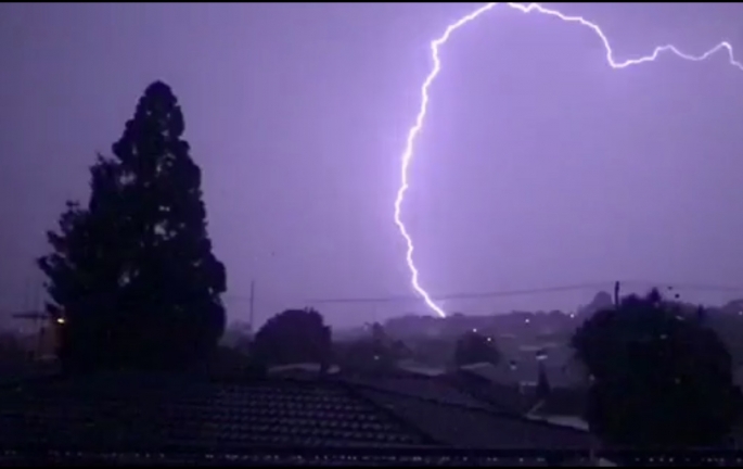
Scattered showers and thunderstorms are expected to form over parts of the upper North Island this afternoon and evening.
Some of these thunderstorms may be severe about Northland, Auckland, eastern Waikato, Coromandel Peninsula, inland Bay of Plenty, Rotorua and northern Taupo this afternoon and evening.
Rainfall intensities of 25-40 mm per hour are possible with these thunderstorms, as well as hail of 10-20 mm in diameter or possibly more.
Rainfall of this intensity can cause surface and/or flash flooding, especially about low-lying areas such as streams, rivers or narrow valleys, and may also lead to slips. Driving conditions will also be hazardous with surface flooding and poor visibility in heavy rain. Large hail can cause significant damage to crops, orchards, vines, glasshouses and vehicles, as well as make driving conditions hazardous.
A Severe Thunderstorm Watch means conditions are favourable for severe thunderstorms in and close to the watch area. People in these areas should be on the lookout for threatening weather conditions and monitor for possible Severe Thunderstorm Warnings.
The MetService has also issued a Severe Weather Warning, with heavy rain forecast for western parts of the South Island and parts of the North Island. Also northwest gales are expected for parts of central New Zealand.
The previous heavy rain watch for northern Westland and Buller has been upgraded to a warning, and a new heavy rain watch has been issued for Wellington and Horowhenua Kapiti Coast .
A strong and moist northwesterly flow remains over the country through to Sunday afternoon, with a number of embedded fronts bringing further periods of heavy rain and northwest gales to central and southern parts of New Zealand. The flow should turn southwest from the south from Sunday afternoon as cold fronts move north across the North Island.
Significant heavy rain with thunderstorms is forecast for western parts of the South Island during today and early Sunday. Flooding and disruption to transport is likely, as well as hazardous conditions for tramping.
People are advised to keep up to date with the latest warnings and watches.
For information on preparing for and keeping safe during a storm, see the Civil Defence Get Ready Get Thru website.
The Severe Thunderstorm Warning is valid until 11pm Saturday December 7 2019.

0 comments
Leave a Comment
You must be logged in to make a comment.